Horifune, in Tokyo’s Kita City.
Did you know there’s a neighborhood where factories and houses stand side by side, with scenery that looks like the background of an anime?
That neighborhood is Horifune.
It was a curious place where the new and the old blend together.
Bordered by the Shakujii River and the Sumida River, Horifune developed as an industrial town that made use of river transport.
Walking here on a sunny day, there was no hectic air at all — time seemed to flow slowly.
In this article, I’ll introduce Horifune — from its street scenery and the history of its rivers and factories, to how to get there, its bridges, and the expressway.
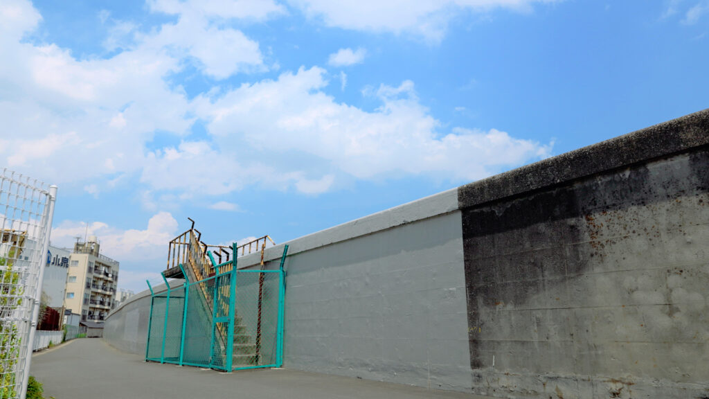
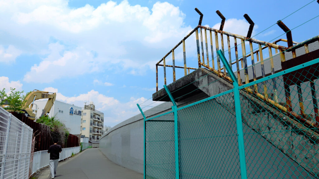
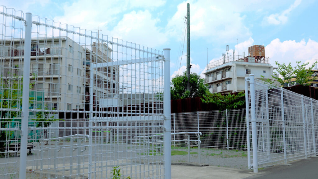
A Town of Factories and Houses: An Anime-Like Sky and Bare Concrete Walls
It was a fine day, with pleasant white clouds.
White clouds just like the ones drawn in Japanese anime.
The breeze felt good, and the day gave me a taste of summer.
Horifune is a curious place where an industrial area and houses mix.
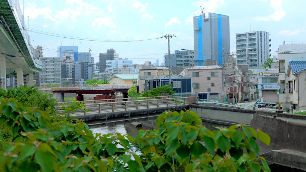
Tall concrete flood walls line the river, and they go perfectly with the plain, functional buildings.
The rusted handrails evoke the world of the early “Neon Genesis Evangelion,” the 1990s anime series. There’s a certain theatrical flair to it. This weathered world seemed to hold melancholy and a bittersweet feeling at the same time.
Here, there was a unique sense of unity where the new and the old coexist.
A History of River and Factories: A Place That Prospered on Paper and Spinning
This area, centered on the Shakujii River, prospered through papermaking and cotton spinning.
From the Meiji era (1868–1912) onward, river water was used for industry, and paper mills and a National Printing Bureau plant were built in Oji.
Horifune also had a spinning mill before World War II.
In 1957, a beer brewery was built on the site, and it operated until 1998.
Today, the site is home to facilities such as a newspaper printing plant.
It has long been a place lined with factories.
In the Meiji era, good-quality clay could be dug here, and brickmaking is said to have flourished.
At the local Funakata Shrine, a brick storehouse for the portable shrine (mikoshi) is said to remain.
By the way, the place name “Horifune” is said to have been created by taking one character each from the former names “Horinouchi” and “Funakata.”
The name was born in 1932.
The town is read “Horifune,” but the local elementary and junior high schools are reportedly read “Horifuna.”
How to Get to Horifune: A Neighborhood to Explore on Foot from Oji Station or the Tram
Horifune is in the southeastern part of Kita City, Tokyo.
It is bordered by the Shakujii River to the north and west, and the Sumida River to the east.
In fact, there is no station in the neighborhood itself.
The nearest are Oji Station on the JR Keihin-Tohoku Line and Tokyo Metro Namboku Line, or the Kajiwara stop on the Toden Arakawa Line (Tokyo Sakura Tram).
From Haneda Airport, take the Tokyo Monorail to Hamamatsucho Station.
Transfer to the JR Keihin-Tohoku Line, and you’ll reach Oji Station in about an hour.
From the station, it was about a 10–15 minute walk, enjoying the old downtown atmosphere along the way.
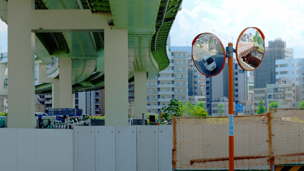
Power Lines, Bridges, and Housing Complexes: Traces of Japan’s High-Growth Era
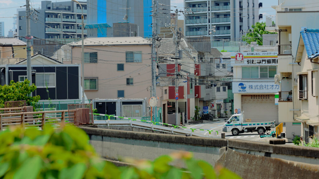
Houses crowded around the factories, and the neighborhood was full of everyday downtown life.
The cluttered, tangled streets brought to mind Japan during its period of rapid economic growth (the 1950s to early 1970s).
Power lines running between buildings.
A bridge under construction.
Buildings that show their age.
Each of them gave off a somewhat nostalgic atmosphere.
The bridge under construction was Shin-Yanagi Bridge (Shinyanagibashi).
It was being rebuilt as the river embankments are raised to guard against storm surges.
Traffic was switched to a temporary bridge in 2021, and the new bridge is scheduled to open in fiscal 2026.
Shinbori Bridge (Shinboribashi) over the Shakujii River was paired with a footbridge with cream-colored railings.
It blended well with the housing complex, and it felt as though time here had hardly changed.
It was completed in March 1960.
It is the farthest-downstream bridge on the Shakujii River; just beyond it, the river joins the Sumida.
One bridge upstream is Hoseki Bridge (Hosekibashi). Its name is said to come from “Hoseki-bashi” (奉石橋, “offered stone bridge”), which villagers long ago called a stone bridge out of gratitude to those who built it.
A monument bearing that name is said to remain at nearby Saifukuji Temple.
These two bridges are planned to be combined into a single new bridge as a storm-surge measure.
Construction is scheduled to start in fiscal 2027 or later, so the current scenery may only be visible for a little while longer.
The Expressway Overhead: Where the Showa Era Meets the Present
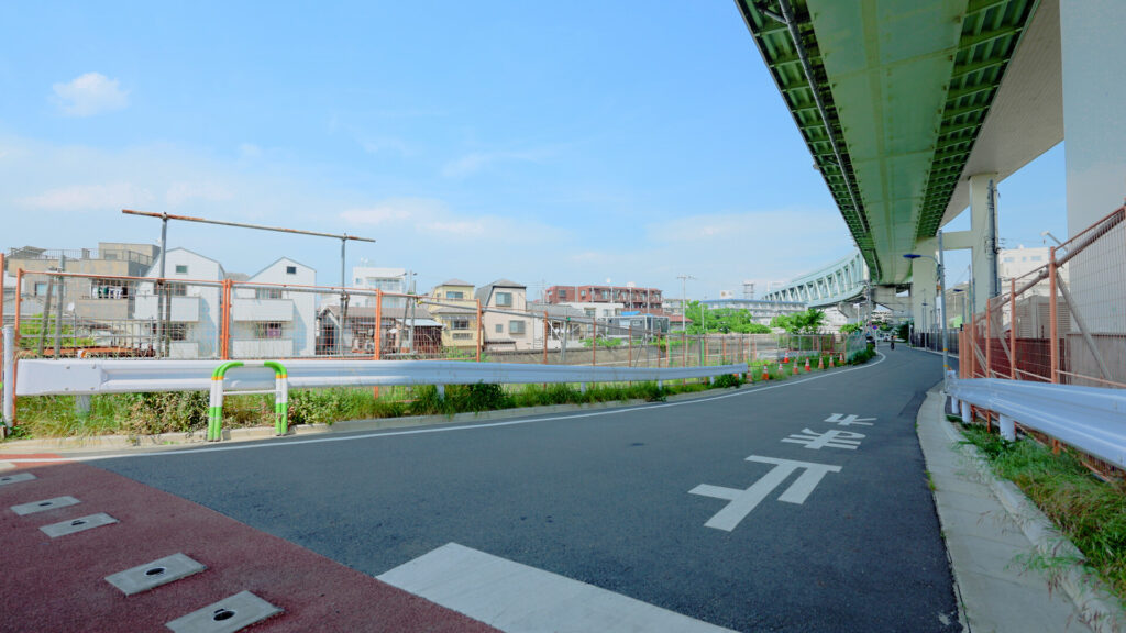
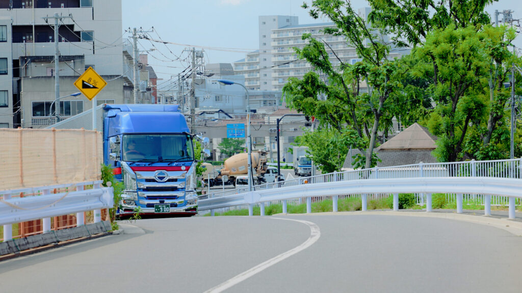
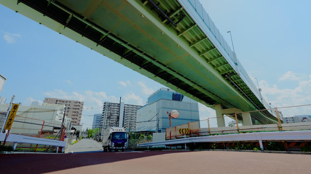
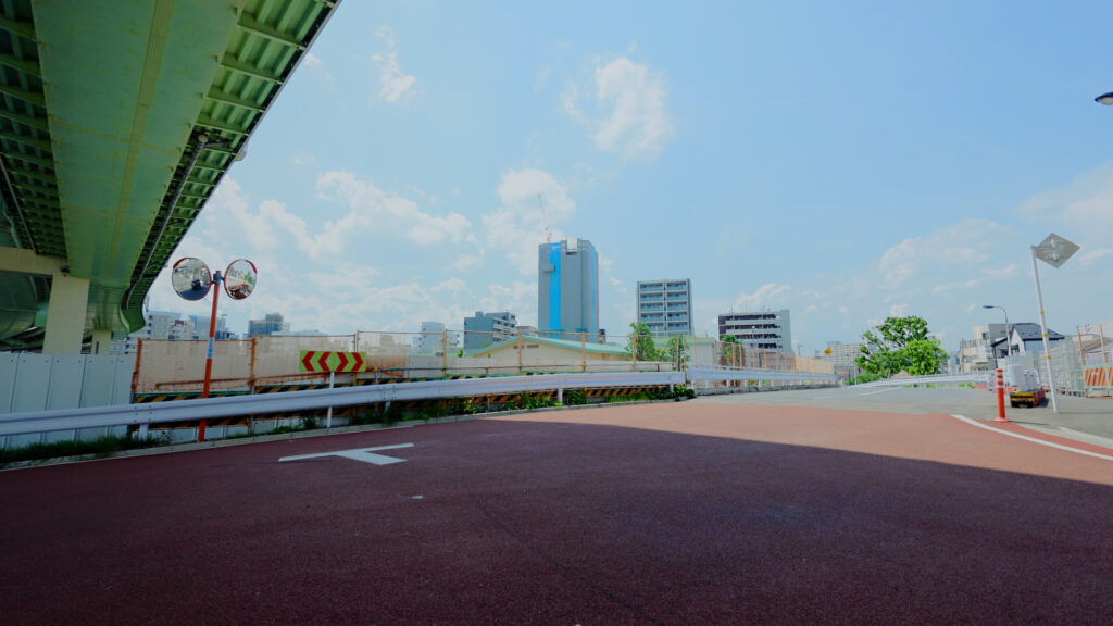
Running right next to Horifune is the Shuto Expressway.
A long green viaduct stretched out above the Shakujii River.
Beyond the low houses and shops, a massive road cuts across.
The way the Showa era (1926–1989) and the present intersect is part of this neighborhood’s charm.
Even amid the ongoing construction, I could feel time flowing slowly.
Final Thoughts
Horifune turned out to be more than just a place lined with factories.
There is the history of the river and factories, and people’s lives in between.
The way the new and the old blend is something you only appreciate by walking it yourself.
If you go a little farther, you can also visit the remains of factories that once supported Japan’s munitions industry.
At nearby Asuka Ryokuchi, you can look up at the expressway up close. If you like, please read that article too.
[Link: Asuka Ryokuchi article]
Be sure to visit on a sunny day.
Getting there and around
Start: Haneda Airport ✈️
⬇️ 🚝
Ride: Tokyo Monorail
Direction: For Hamamatsucho (the last stop)
Time: Approx. 13–19 min (the Airport Rapid is fastest) ⬇️ 🛑
Transfer: Hamamatsucho Station
Important: Follow the signs for the JR Lines. The JR Keihin-Tohoku Line (light blue) and the Yamanote Line (light green) use the same platforms here — be sure to take the light blue Keihin-Tohoku Line. ⬇️ 🚃
Ride: JR Keihin-Tohoku Line
Color: Light Blue Stripe 🟦
Direction: For Tokyo / Ueno / Omiya
Time: Approx. 27 min ⬇️ 🛑
Get Off: Oji Station ⬇️ 🚶
Walk: Approx. 10–15 min
1 Leave Oji Station and head for the Shakujii River.
2 Walk downstream (east) along the river.
3 Cross into Horifune, the neighborhood south of the river, and explore on foot.
Fare: Approx. ¥780 one way (Monorail ¥520 + JR ¥260; slightly less with an IC card such as Suica or PASMO)
Hours
Open at all times (a residential neighborhood — please be considerate of residents)
Fees
Free