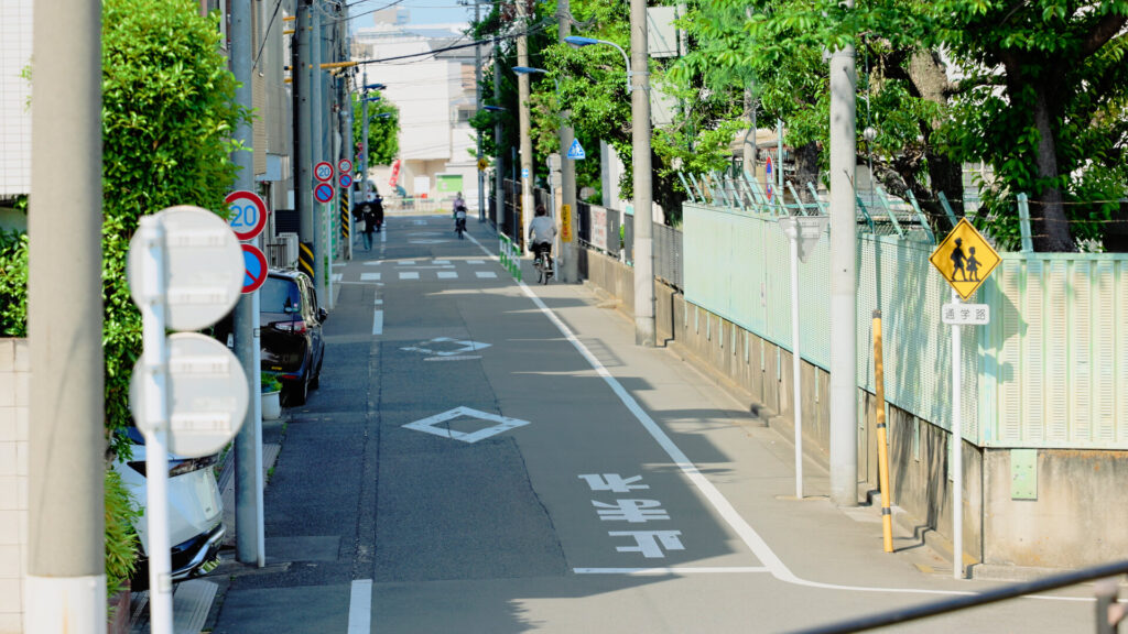
Oji, in Tokyo’s Kita City.
Did you know there is a green space tucked between the buildings where you can look up at the Shuto Expressway (Tokyo’s urban expressway network) right above you?
That place is Asuka Ryokuchi (Asuka Green Space).
In fact, it was born on the old course of a river that was rerouted.
The Shakujii River once flooded again and again.
This green space sits where the river’s improvement works and the construction of the Shuto Expressway overlapped.
Walking here, the sky felt surprisingly wide for central Tokyo.
In this article, I’ll introduce Asuka Ryokuchi — from the history of the Shakujii River and how to get there, to the story behind the expressway that runs right in front of it.
The Shakujii River, Once a Clear Stream
The Shakujii River flows from Kodaira City through northern Tokyo into the Sumida River, and is a Class A river of the Arakawa river system.
It is about 25.2 km long.
Asuka Ryokuchi lies just before the point where the Shakujii joins the Sumida.
In the Edo period (1603–1868), the Shakujii River is said to have been so clean that fireflies flew over it.
Clean water, and boat transport connecting to the Sumida River.
These two things would bring new industries to Oji.
On the way from Oji Station to Asuka Ryokuchi, you’ll still find the Oji Plant of the National Printing Bureau, which prints Japan’s banknotes.
Factories lining the riverside are probably a remnant of a town that prospered by making use of water.
The Birthplace of Western-Style Paper in Japan: Founded by Shibusawa Eiichi, the Face of the 10,000-Yen Note
Shibusawa Eiichi is the face of the new 10,000-yen note, issued from 2024.
He was a businessman often called “the father of Japanese capitalism.”
Believing that Western-style papermaking would help modernize Japan, he founded the Shoshi Kaisha paper company in 1873 (the 6th year of the Meiji era, 1868–1912).
In 1875, its mill in Oji was completed.
Oji is said to have been chosen because good-quality water was drawn here from the Senkawa Aqueduct (Senkawa Josui), and because boats could reach the Sumida River via the Shakujii River.
The company later became Oji Paper, still one of the leading corporate groups in Japan’s paper industry.
Near Oji Station stands a monument marking the birthplace of Western-style paper in Japan.
An Embankment-Like Green Space: Looking Out Over the City from Above
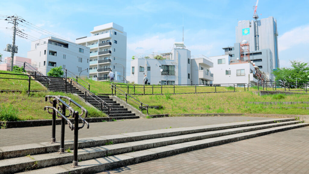
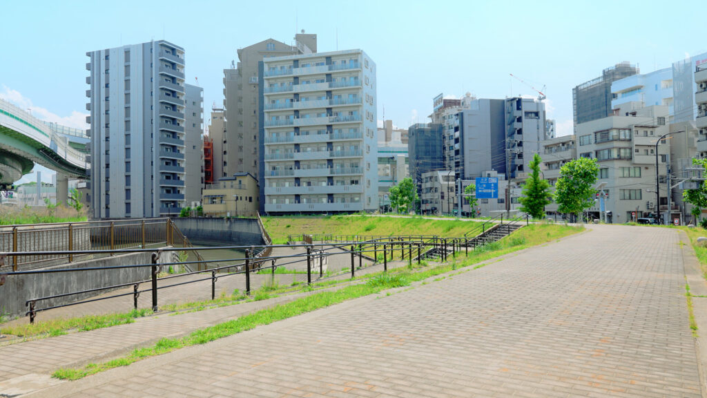
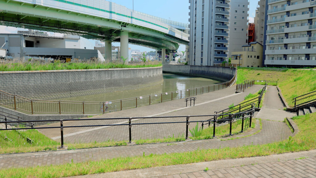
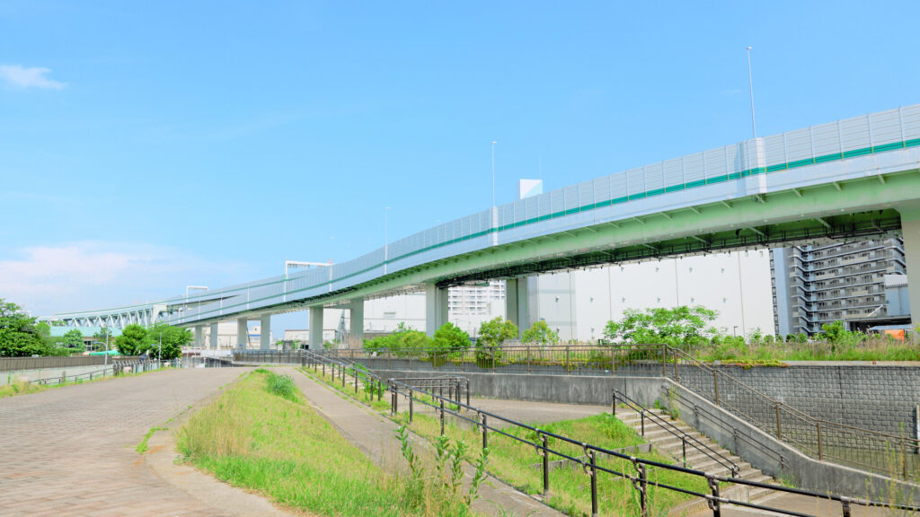
The green space is raised like an embankment, and you could walk along the top.
It’s on the edge of central Tokyo, yet surrounded by rows of buildings.
In a city with so few open spaces, a view like this is precious. And the view was superb.
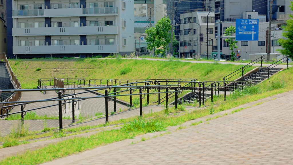
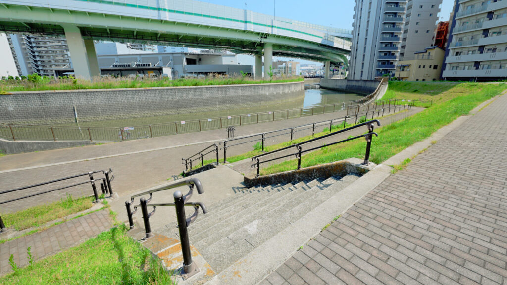
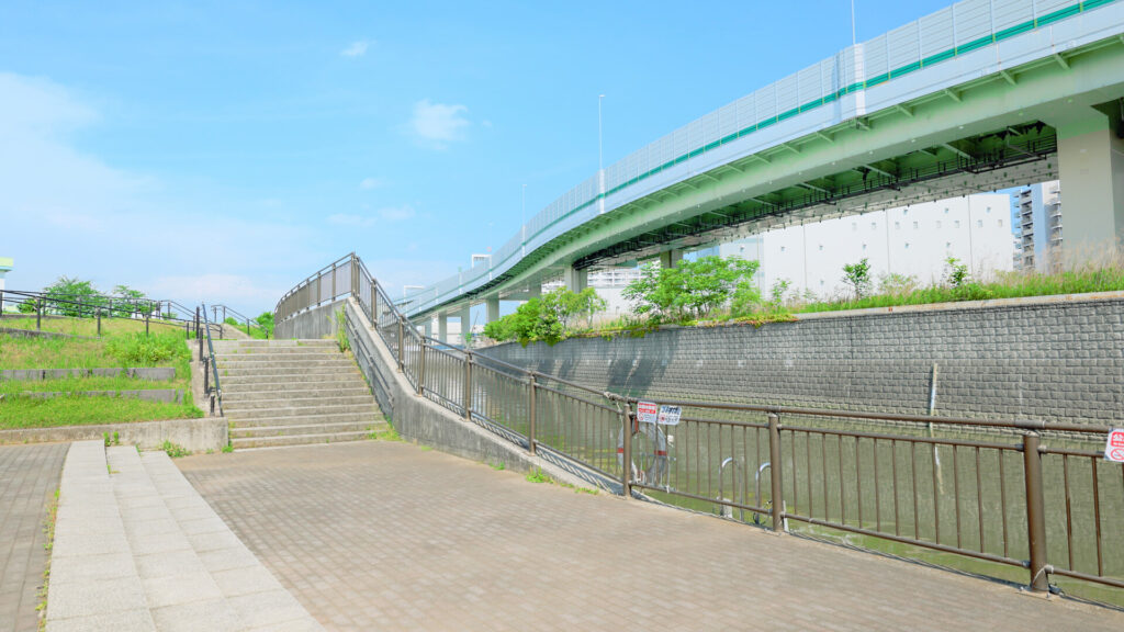
The grassy slope had several sets of stairs leading down close to the river.
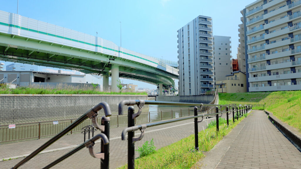
A brick-colored path continued on, gently curving.
Looking it up, I found there are five sets of stairs, and the height difference from the road is about 3 m.
According to Kita City, the green space opened in April 2007 and covers about 3,470 m².
Although it’s surrounded by apartments and office buildings, only here did the sky open up wide.
A Barrier-Free Slope
The green space had a barrier-free slope that lets even wheelchair users get inside the embankment.
That’s rare for a riverside green space, and you can feel the careful thought behind it.
Inside the embankment, it’s a little quieter.
The expressway runs right overhead, but the embankment blocks the traffic noise, and it was surprisingly peaceful.
How to Get to Asuka Ryokuchi: A Green Space within Walking Distance of Oji Station
Asuka Ryokuchi is in Kita City, Tokyo, just before the Shakujii River joins the Sumida River.
The nearest station is Oji, on the JR Keihin-Tohoku Line and the Tokyo Metro Namboku Line.
The name sounds similar, but this is not Asukayama Park, the hilltop park famous for its cherry blossoms.
It is a green space on low ground along the Shakujii River.
From Haneda Airport, take the Tokyo Monorail to Hamamatsucho Station.
Transfer to the JR Keihin-Tohoku Line, and you’ll reach Oji Station in about an hour.
From Oji Station, it was about a 7-minute walk downstream along the Shakujii River.
You can also walk from the Oji-ekimae stop on the Toden Arakawa Line (Tokyo Sakura Tram).
Pass between houses and factories, and suddenly the view opens up to reveal a green embankment.
Traces of the Shakujii River: Where the River Was Rerouted
In fact, this green space is the trace of a river.
Looking at the terrain, you can see it has a roughly oval shape.
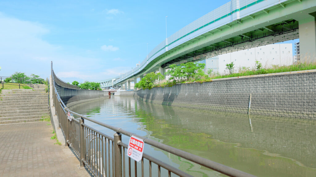
This sharply curving section was the original course of the Shakujii River.
Water tended to pool at the bends, which was one of the causes of flooding.
The Shakujii River flows through Kita City into the Sumida River.
It flooded again and again whenever heavy rain fell.
During Typhoon Kanogawa in 1958, water is said to have reached the ticket gates of Oji Station.
Even in the torrential rain of July 2010, the river overflowed around Horifune, just downstream.
To prevent such floods, the Asukayama Diversion Channel was built, sending the river straight through a tunnel under Asukayama hill.
It was completed in 1969. The old riverbed, where water no longer flows, is now Otonashi Shinsui Park, a waterside park.
Around here too, works that gradually straightened the once sharply bending river are said to have taken about 20 years.
Asuka Ryokuchi is the land left behind by that rerouting, turned into a green space.
Looking out over the green space, its edge traced an arc like a crescent moon.
It’s as if it follows the shape of the old river exactly.
Near the Oji-side entrance, there is said to be a Koshinto — a stone monument of a Japanese folk faith — believed to date from the late Edo period.
It is said to stand on the old border between Oji Village and Toshima Village.
The Expressway in Front of You: From Under Asukayama to Above the River
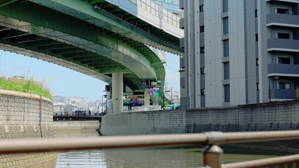
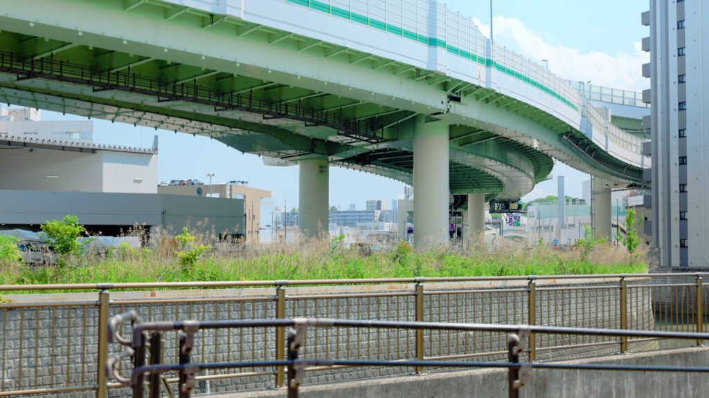
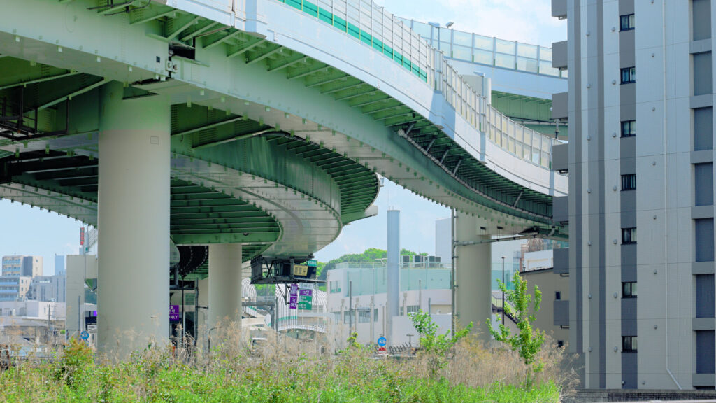
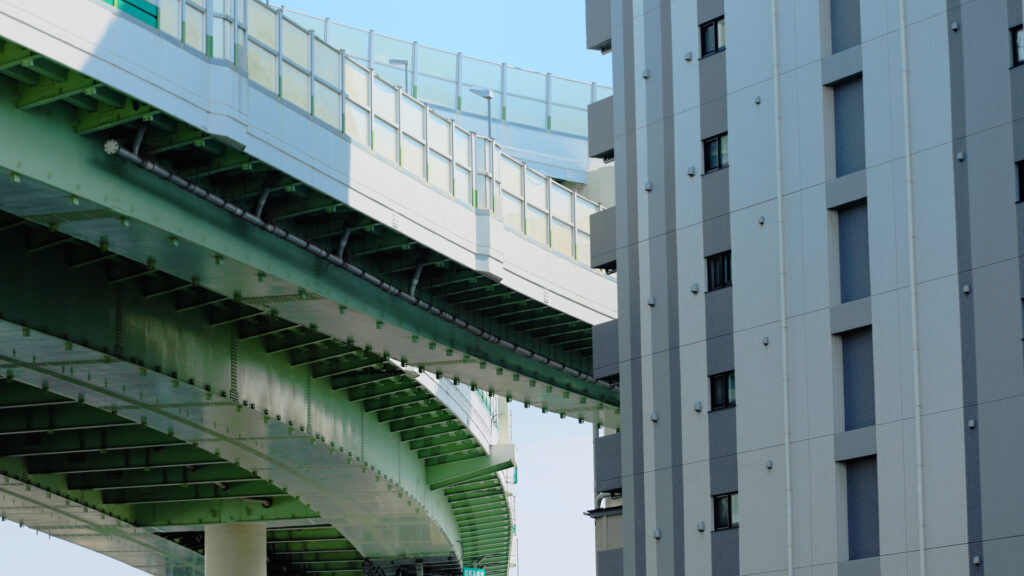
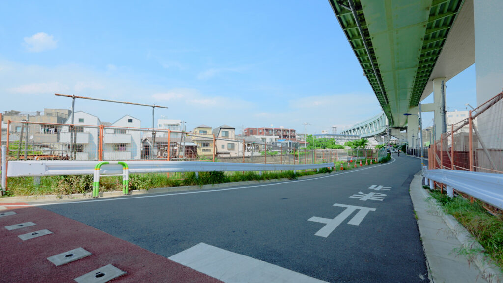
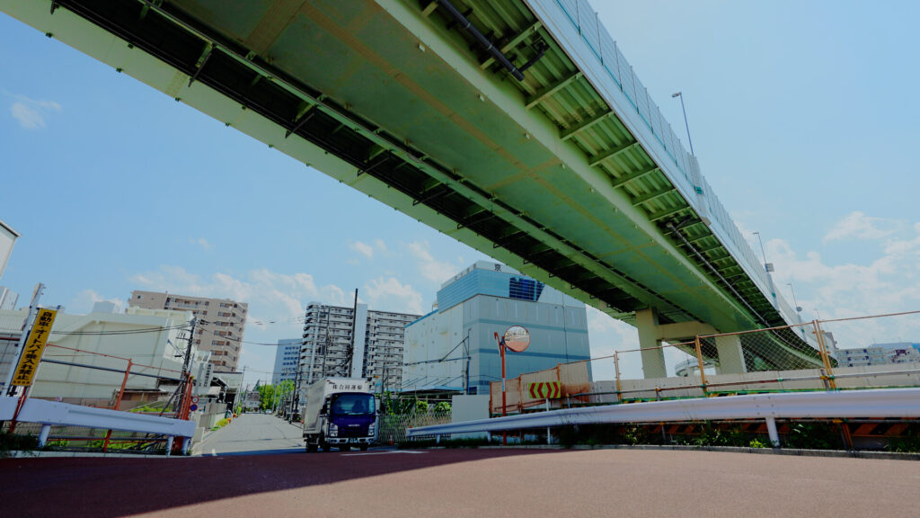
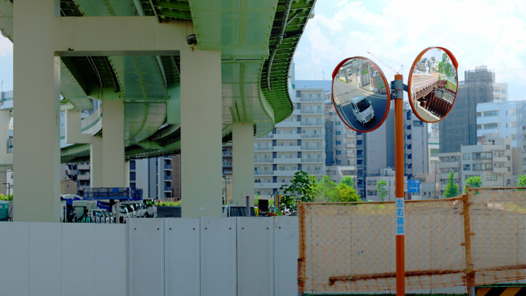
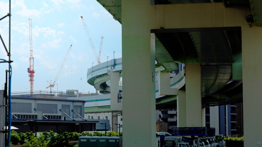
Right in front of the green space is the viaduct of the Shuto Expressway Central Circular Route.
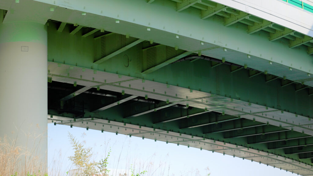
The green girders curving through the gaps between buildings were a spectacular sight.
This section (Itabashi Junction to Kohoku Junction) opened in December 2002.
It is one of the later-built sections of the Shuto Expressway.
Building expressways in Tokyo came with a huge challenge.
A new expressway had to be threaded through the middle of a city that was already fully built up.
Expressways need a lot of land, and even then, buying land was a major problem.
So the idea was to run the expressway along the river, to buy as little land as possible.
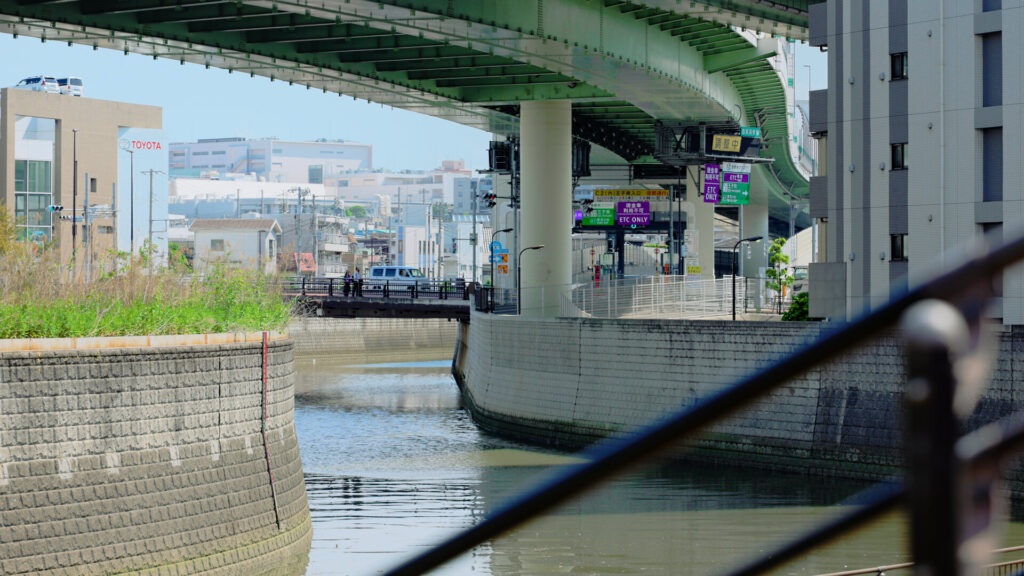
That is said to be how the Shuto Expressway came to run above the Shakujii River.
Asukayama: A Big Wall
The other difficult spot was Asukayama.
Asukayama is a hill at the eastern edge of the Musashino Plateau.
At its foot, many railway lines converge, including the JR Keihin-Tohoku Line, the Tohoku Shinkansen, and the Toden Arakawa Line.
There was probably almost no room left for an expressway.
So the Shuto Expressway took a bold route.
It passes under Asukayama in a tunnel, going beneath about 10 railway and subway lines.
Once through the hill, it comes out again on a viaduct above the Shakujii River.
The tunnel was reportedly also chosen to protect the scenery of Asukayama, a famous cherry blossom spot.
Using the space above a river for a road.
The ingenuity it takes to run an expressway through a city was spread out right before my eyes.
Oji-minami Ramp: Opened 12 Years after the Main Line
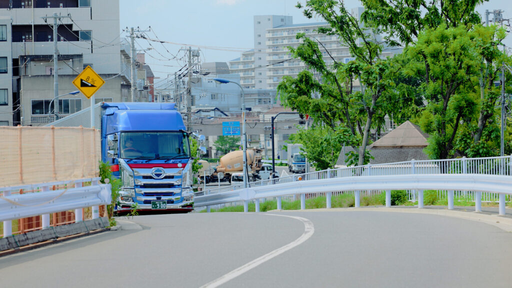
The road branching off right beside the green space is the Oji-minami (Oji South) entrance and exit ramp.
This ramp was decided on back in 1986.
However, the main line opened in 2002 without it.
That’s because the Shakujii River had to be improved and Mizota Bridge rebuilt before the ramp could be built.
It opened on March 29, 2015 — 12 years after the main line.
The Oji-minami ramp is a half interchange that only connects toward Itabashi.
Together with the nearby Oji-kita (Oji North) ramp, drivers can travel in both directions.
This unusual design was probably due to the limited land available for the expressway.
Even so, through ingenuity within that limited space, Japanese civil engineering brought the Shuto Expressway to completion.
Don’t its many curves show a kind of architectural beauty that is uniquely Japanese?
Knowing that this is a place where the river and the road were rebuilt together over a long time changed the way the scenery looked to me.
A Truss Bridge That Curves with the River: A Double-Deck Bridge over the Sumida
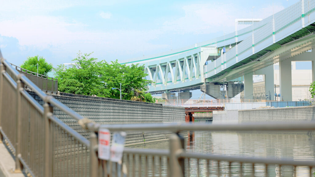
Looking downstream from the green space, I could see a bridge built from a framework of triangles.
It’s the truss bridge that carries the Shuto Expressway across the Sumida River.
It’s said to be an unusual bridge, with the inbound and outbound lanes stacked on two levels.
Here too, you can sense the high level of Japan’s civil engineering.
The Shuto Expressway follows the Shakujii River and heads straight on toward the Sumida River.
The bridge seemed to curve along with it, as if matching the shape of the river.
A truss bridge winding like a snake is quite a rare sight.
Final Thoughts
Asuka Ryokuchi turned out to be more than just a place with a good view of the expressway.
Change a river’s course, then run a road above it.
It’s a place where you can feel, up close, both the history of living with floods and the technology of building roads.
Nearby is Horifune, a neighborhood where factories and houses stand side by side.
If you like, please read that article too.
[Link: Horifune article]
Be sure to visit on a sunny day.
Getting there and around
Start: Haneda Airport ✈️
⬇️ 🚝
Ride: Tokyo Monorail
Direction: For Hamamatsucho (the last stop)
Time: Approx. 13–19 min (the Airport Rapid is fastest) ⬇️ 🛑
Transfer: Hamamatsucho Station
Important: Follow the signs for the JR Lines. The JR Keihin-Tohoku Line (light blue) and the Yamanote Line (light green) use the same platforms here — be sure to take the light blue Keihin-Tohoku Line. ⬇️ 🚃
Ride: JR Keihin-Tohoku Line
Color: Light Blue Stripe 🟦
Direction: For Tokyo / Ueno / Omiya
Time: Approx. 27 min ⬇️ 🛑
Get Off: Oji Station ⬇️ 🚶
Walk: Approx. 7 min
1 Leave Oji Station and head for the Shakujii River.
2 Walk downstream (east) along the river.
3 Pass between houses and factories. When the view opens up, the green embankment of Asuka Ryokuchi is in front of you.
Fare: Approx. ¥780 one way (Monorail ¥520 + JR ¥260; slightly less with an IC card such as Suica or PASMO)
Hours
Open at all times (an outdoor green space)
Fees
Free